Nearest Address: 72A Westhead Rd, Toronto, ON M8W 4S3; 615 Horner Ave
Meets: Tuesday 10:00 AM-12:00 PM (June to September)
Transit: Nearest TTC stop is at Evans Ave. & Gair Drive, via bus 123 from Kipling Station.
Meeting points: for 72A Westhead, meet at the baseball diamond closest to the river; for 615 Horner, meet at the valley playground.
Annual Events (specific dates TBA):
Spring/Earth Day Clean-up
Mid-May Garlic Mustard pull
Fall shrub/tree Extractigator Extravaganza
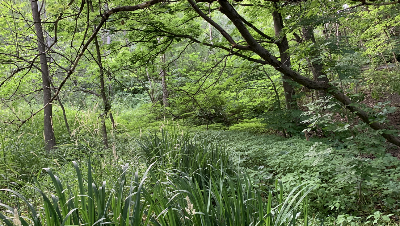
The Etobicoke Creek Valley Park site is at the western edge of the City of Toronto, adjacent mostly to the Alderwood neighbourhood. The valley here has a wide floodplain that supports riparian forested lands adjacent to the river, while much of the remainder of the floodplain is devoted to recreational uses such as baseball diamonds, manicured open fields and a kid’s playground area. The site location is comprised of 2 discrete sites, one each on the north and south sides of the QEW.
The part of the site north of the QEW is a triangular patch of floodplain land, approximately 1.4 ha in size, bounded by Sherway Drive to the south, Etobicoke Creek to the west, and on the east by the bottom of the slope behind the Sherway/Trillium Hospital and the Dorothy Ley Hospice (220 Sherway Drive). The site is comprised of a riparian woodland and a wet meadow and is adjacent to the Middle Road 1909 Heritage Bridge, connecting walkers and cyclists to the Applewood community in Mississauga.
The southern part of the site is adjacent to the Alderwood neighbourhood, south of the QEW and the Sherway Gardens Mall. It is an ~800m linear riverine woodland strip, 2 to 50m in width, along the east bank of the Etobicoke Creek, stretching from the baseball diamonds (at 72A Westhead Road), south to the small, valley playground at the 615 Horner Ave. footpath entrance to the valley, where it abuts the ESA further to the south. A small patch of tall shrubs and trees between the footpath and the valley wall is also included in the site.
The ECVP site was started in 2024. Primary activities include doing a vegetation inventory of the entire site, finding and identifying high-quality patches of native vegetation to protect and enhance, picking up litter and removing invasive species identified on the TNS-approved list.
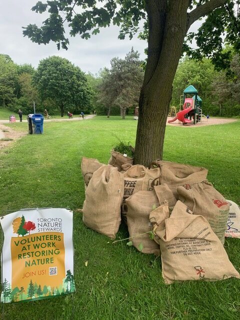
Join the Etobicoke Creek Valley Park Stewardship Team
Site Document Archive
Note: Site Assessments and past Plant Inventory Reports are present for archival purposes. Site Assessments were prepared by volunteer Lead Stewards in the years indicated, while Plant Inventory Reports were compiled from data collected by volunteer Stewards and Lead Stewards. Site and management unit boundaries have shifted over time and may not necessarily reflect current site limits.
Plant Inventory Reports
Site Assessments
2024 Site Assessment (North)
2024 Site Assessment (South)
Scenes from the Site